
Six forest walks in the Aegean, from the Kaz Mountains to the Dilek Peninsula
The Kaz Mountains, Karagöl, Spil, Kozak, Gölcük and the Dilek Peninsula. Short route notes for the wooded mountains of Türkiye's Aegean, the best seasons and what you need to know about summer entry bans.
Teknovan Editorial Team ·
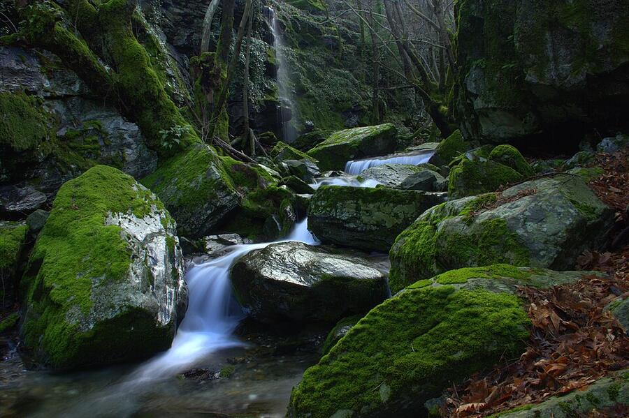
Say "Aegean" and most people picture coves. But drive half an hour inland and a different Aegean begins: ridges that smell of pine, streams that stay cool even in summer, plane trees dropping their leaves in autumn. In this post we've gathered six forest routes for people who like walking. You can reach all of them in your own vehicle, and each has somewhere nearby to camp.
First, a warning: in summer, the Aegean forests are largely closed. That's why we need to talk about the calendar before the routes.
Why are the forests closed in summer?
Every year, because of the wildfire risk, provincial governors' offices (valilik) ban entry to forested areas between set dates. At the time of writing, some of the decisions announced for 2026 were these:
| Province | 2026 ban period | Note |
|---|---|---|
| İzmir | 1 June-31 October | Stopping and picnicking on forest roads was also banned |
| Manisa | 1 June-31 October | 112 forested areas were covered |
| Aydın | 19 May-31 October | Pitching tents and camping was also banned |
| Çanakkale | 1 June-30 September | Forested areas across the whole province |
On the Balıkesir side, entry to the part of Kazdağı Milli Parkı (Kaz Mountains National Park) facing the Gulf of Edremit can also be restricted in summer. The decisions are taken afresh every year and the dates change. Check the relevant governor's office website before you set off. In some provinces registered picnic areas are excluded from the ban, but you need to check that against each province's own list as well.
November, when this post was published, is the opposite: the start of the best season for walking.
1. Kaz Mountains National Park: waterfalls and streams
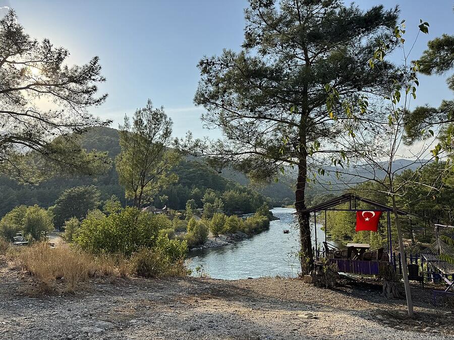
On the slope of the Kaz Mountains (Kazdağları, Mount Ida in antiquity) facing the Gulf of Edremit, above Zeytinli. The park has two day-use areas: Sütüven (Hasanboğuldu) and Pınarbaşı. At Sütüven the Kızılkeçili Çayı stream first forms a pool, then drops about 17 metres as a waterfall. From Pınarbaşı, paths follow the stream into the forest.
- Difficulty: easy. The streamside walks suit families.
- When: October-November and April-May. In winter the stream runs high and the paths are slippery.
- Watch out: longer routes up to the summit may need a permit.
More detail in our Kaz Mountains National Park guide.
2. Yamanlar and Karagöl: the forest closest to İzmir
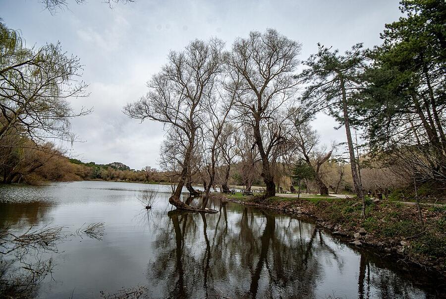
About an hour of winding road from Karşıyaka (on the north side of İzmir's bay), and at the end, a crater lake among the pines. The path around the lake is easy and takes about an hour. If you want to walk further you can climb onto the Yamanlar ridges, and on a clear day you'll see the bay. The paths aren't waymarked everywhere, so download the route to your phone.
There's a tent campsite inside the nature park too. For details, see the Karagöl Tabiat Parkı page and our Karagöl guide.
3. Spil Dağı National Park: wild horses and tulip slopes
Spil, rising right above the city of Manisa, was declared a national park in 1968. Its summit is a little over 1,500 metres. In spring the Manisa tulip (Tulipa orphanidea), the city's symbol, flowers on its slopes. There are areas inside the park suitable for tent and campervan camping.
For a long walk there's the Anemon Yolu (Anemone Trail), opened by Manisa Metropolitan Municipality and local mountaineers. Starting from Akpınar at the foot of Spil, it's about 18 kilometres. You'll need to be fit.
Spil's semi-wild horses (yılkı atları) are used to people and will come right up to your car window. Don't feed them and don't get close. That's how a child came to be bitten, according to news reports. In winter it snows on the mountain, and you'll need chains or winter tyres.
4. Madra Dağı and Kozak Yaylası: stone pines and granite boulders
Kozak Yaylası (the Kozak plateau), north of Bergama, lies between about 500 and 1,000 metres above sea level. Two things make the area recognisable: broad forests of stone pine and clusters of rounded granite boulders scattered among them. Together with the Kaz Mountains, it's part of the Ida-Madra Geopark project.
Don't expect a waymarked, well-kept path network at Kozak. The roads between villages and the forest tracks are good for walking. The mountain road from Ayvalık to Bergama via Yeniköy and on to Kozak is one of the routes with a shared GPS track. There are working quarries in the area too, so plan your route on the map to keep away from them.
5. Gölcük: a highland lake in the Bozdağlar
A lake at 1,050 metres, about 18 kilometres above the town of Ödemiş and south-west of Bozdağ. It's where people from Ödemiş escape to cool off in summer. You can walk around the lake, and some sports clubs use it as a camping spot.
In winter the lake sometimes freezes, and the nearby Bozdağ ski centre draws crowds. We couldn't find an official list of campsites. Ask locally on the Ödemiş side about accommodation and permission to pitch a tent.
6. The Dilek Peninsula: forest down to the sea
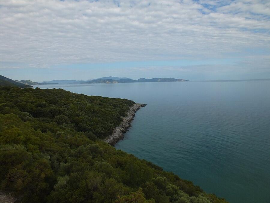
South of Kuşadası, between the ridges of Samsun Dağı (Mount Mykale) and the coves on the shore. The Zeus Cave (Zeus Mağarası) is very close to the park entrance, and the water inside stays cool in summer.
There are two well-known walks:
- Botanik Yolu (the Botanical Trail): about 2.5 kilometres between Karasu and Kavaklıburun Koyu. Easy.
- The canyon route: about 15 kilometres between Oluklu Kanyonu and the village of Doğanbey. Set aside the whole day and take plenty of water.
The park closes early in the evening, so ask about the hours at the gate. For camping, see the Dilek Yarımadası Milli Parkı page, and for visit notes, our Dilek Peninsula guide.
Leaving no trace in the forest
The Leave No Trace principles were born in the US, but they fit the Aegean forests perfectly:
- Plan ahead. Check the ban dates, the weather and the route before you set off.
- Stay on the path. Shortcuts erode the soil.
- Take your rubbish home. Fruit peel included.
- Leave what you find. That includes tulip bulbs, stones and pine cones.
- Don't light fires. A fire in the forest is a bad idea even outside the ban period. If you're using a stove, pick open, stony ground.
- Don't feed wildlife. Spil's horses included.
- Respect the quiet. Leave the speaker at home.
If you see smoke or flames, call 112 straight away.
Frequently asked questions
When does the forest entry ban end in the Aegean? At the time of writing, in 2026 the ban ended on 31 October in İzmir, Manisa and Aydın, and on 30 September in Çanakkale. The dates are set again every year.
Can you go forest walking in November? Yes, it's one of the best times. The days are short, so don't start a new route after three in the afternoon.
Can you enter national parks during the ban? It varies from province to province. Some provinces exclude registered picnic and day-use areas. Ask the management of the park you're going to.
Which route is best for beginners? The loop around the lake at Karagöl and the Botanical Trail at Dilek. Both are flat and short.
For campsites close to these routes, have a look at our campsite list.
Sources
- Forest entry banned in İzmir, Yeni Asır
- Entry to forested areas banned in Manisa, Habertürk
- Aydın governor's office forest entry decision, GZT
- Forest entry ban in Çanakkale, Evrensel
- Biodiversity of Spil Dağı National Park, Küre Ansiklopedi
- Anemon Yolu, nature lovers' new favourite, NTV
- Kozak Plateau and Ida Madra Geopark, Visit İzmir
- Seven Principles of Leave No Trace, Green Earth
Image credits
Photos illustrate the region; they are not photos of the campsites themselves.
- Kazdağları: Alfinkedisi, CC BY-SA 4.0, Wikimedia Commons.jpg)
- Karagöl, Yamanlar: Enverkaranfil, CC BY-SA 4.0, Wikimedia Commons
- Dilek Yarımadası Milli Parkı: Fatma İrem TINAZLI, CC BY-SA 4.0, Wikimedia Commons